If you’re looking for quiet solitude and you want to be amazed by incredible beauty, stay with us cause we have prepared some astonishing images of the Red Planet!
Mars is also known as the Red Planet because of its deep reddish glow. The ancient Romans admired the planet for its color and the Egyptians called her “desher”, or “the red one”.
Mars has earned its signature as the red planet, but the HiRISE camera aboard NASA’s Mars Reconnaissance Orbiter (MRO) can transform the subtle differences of soils into a rainbow of colours. During last 10 years, HiRISE has been recording gorgeous – and scientifically valuable – images of Mars.
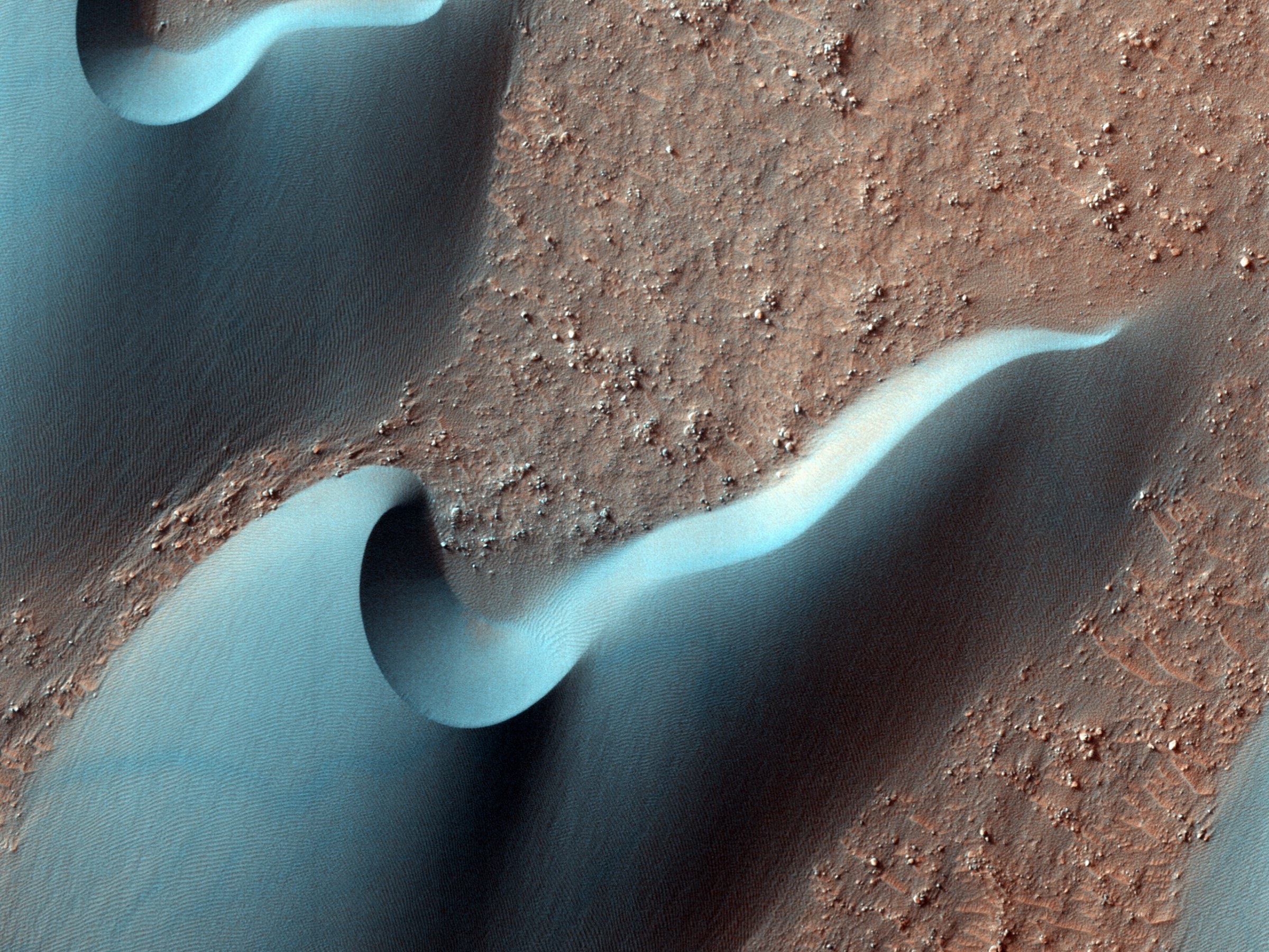
Their camera has photographed hundreds of pictures of the surface of Mars and its area. Detailed photos seem to show us as if the scientists are examining the surface from within a few feet. Look closely and on one of the pictures, you will even see remains of the recent crash of Europe’s Schiaparelli Mars lander.
Enjoy these 2,540 pictures that were released in August, September and October and we hope you could temporarily escape Earth.
A large chasm
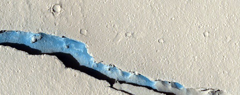
Image Source: NASA
Dark, rust-colored dunes in Russell Crater
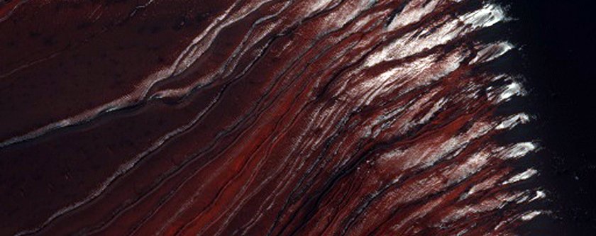
Image Source: NASA
NASA might land its next nuclear-powered Mars 2020 rover mission here
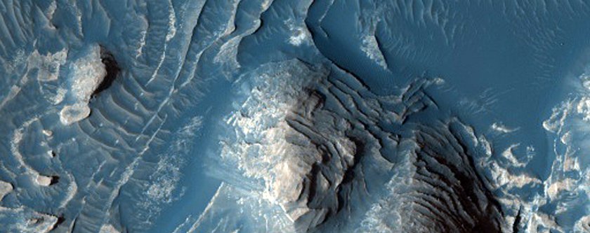
Image Source: NASA
This black splotch is the place where the European Space Agency’s Schiaparelli Mars lander crashed. The white specks, pointed out with arrows, are pieces of the lander
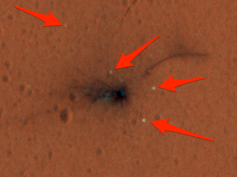
Image Source: NASA
This is Zebra skin look a like dune field that’s speckled with oval-shaped mineral deposits
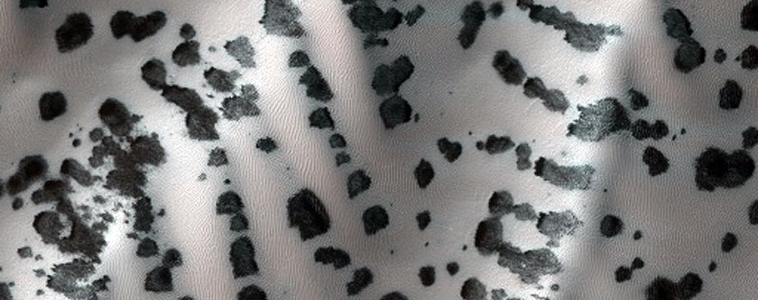
Image Source: NASA
False-coloring this image makes a giant dune and its gullies look blue
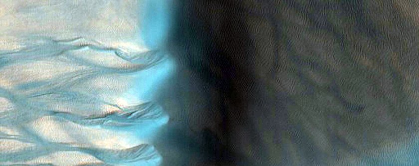
Image Source: NASA
This could be possible landing site for the upcoming ExoMars 2020 mission, which the European Space Agency is running
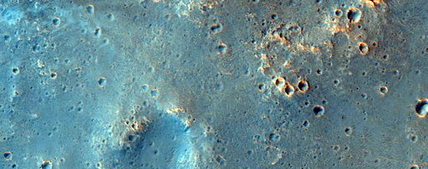
Image Source: NASA
A North Pole dune field nicknamed “Kolhar,” after Frank Herbert’s fictional world
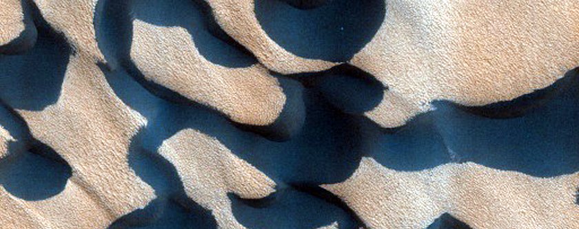
Image Source: NASA
Carbon dioxide that turns from solid to gas carves out these strange shapes at Mars’ south pole
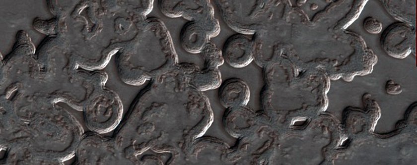
Image Source: NASA
This is a recent impact crater on Mars
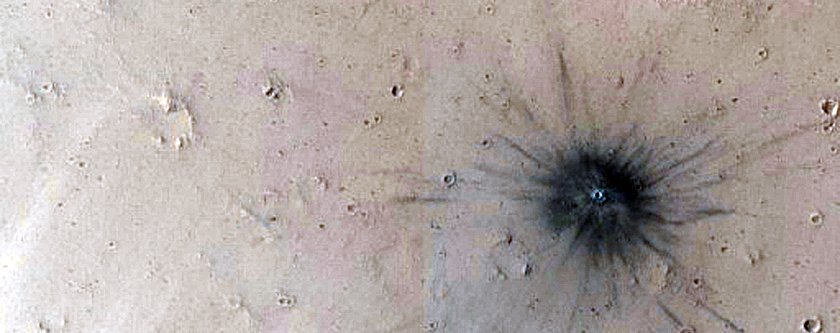
Image Source: NASA
Eruptions of dust that looks like “spiders” caused by the way the Martian surface warms and cools
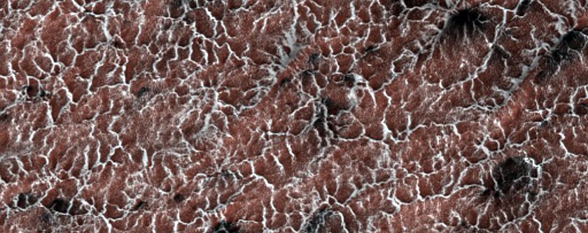
Image Source: NASA
Cerberus Palus crater showing off layered sediments
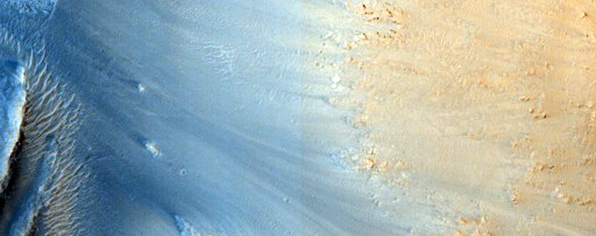
Image Source: NASA
NASA keeps an eye of gullies like this for small landslides – and any water that melts in the warm sun to form darker-colored mud
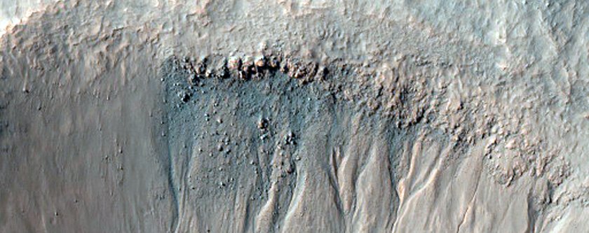
Image Source: NASA
Another gully scientists are having HiRISE monitor
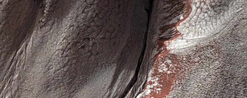
Image Source: NASA
Strangely iridescent glacial terrain
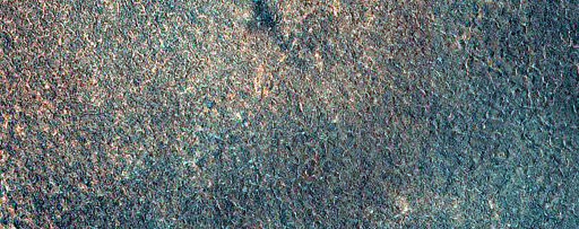
Image Source: NASA
A steep slope in Eastern Noctis Labyrinthus
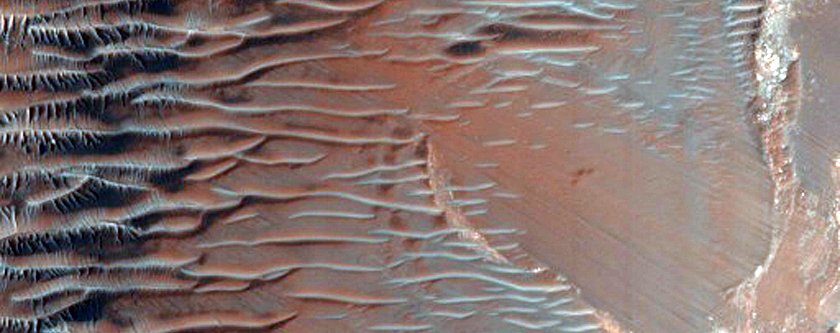
Image Source: NASA
Dunes in a Martian crater. The red bar is an artifact of NASA’s image processing
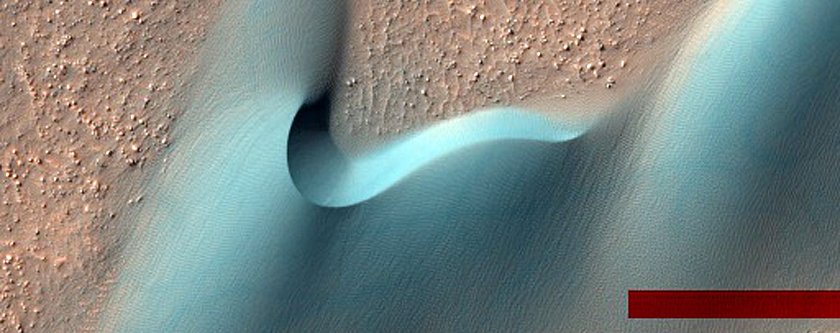 Image Source: NASA
Wind-shaped dunes on Mars crawl across cracked soil in Nili Patera. The green bar is just a leftover from processing the image
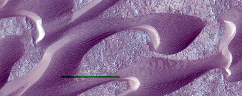
Image Source: NASA
The same sand dunes in full color, pictured a couple of months later
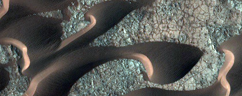
Image Source: NASA
The process od creation of ‘fans’ around dunes could possibly help scientists to better understand seasonal changes on Mars
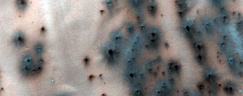
Image Source: NASA
Another possible landing site for the Mars 2020 mission
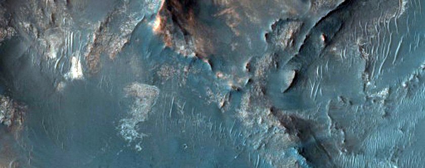
Image Source: NASA
Terrain near the Martian equator
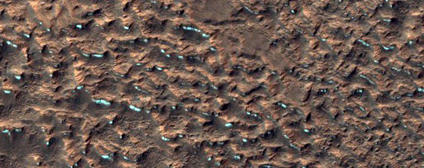
Image Source: NASA
Ceraunius Fossae is a region dominated by volcanic flows and large cracks
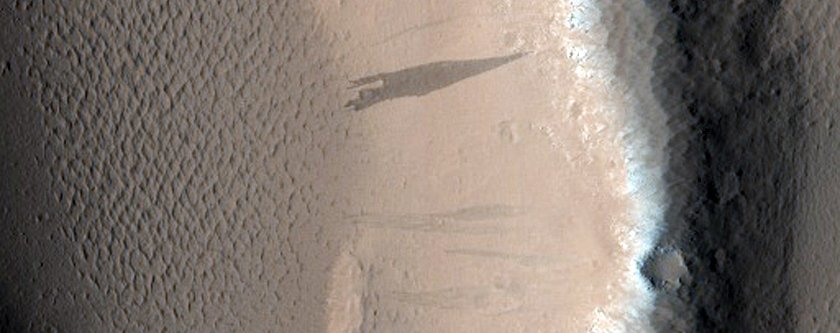
Image Source: NASA
Such a beautiful texture in the region called North Sinus Meridiani
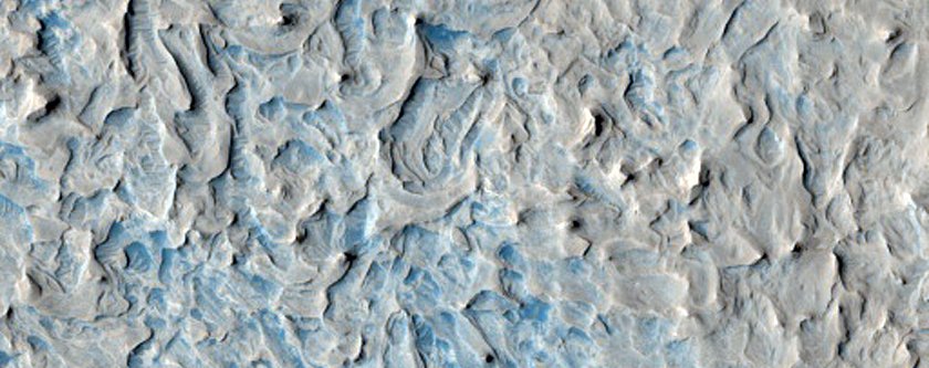
Image Source: NASA
False colours assigned to certain minerals make Syria Planum an inky blue that’s speckled with gold
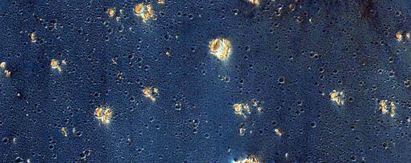
Image Source: NASA
A crater on Arcadia Planitia, a large flat region of Mars
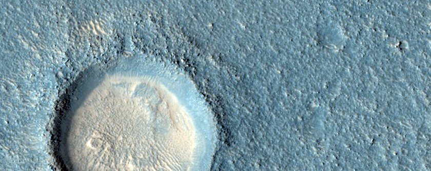
Image Source: NASA
Layers in Martian buttes found in a region called West Arabia
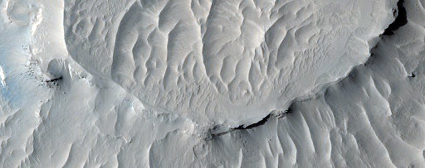
Image Source: NASA
A picture of Utopia Planitia, a large plain on Mars
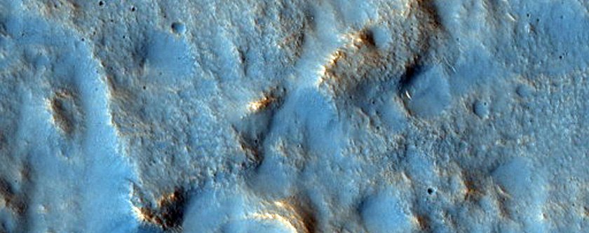
Image Source: NASA
A bright speckle of minerals stands out on Galle (not Gale) Crater
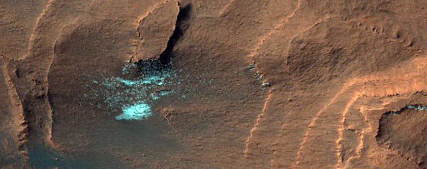
Image Source: NASA
Very small but very recent impact crater
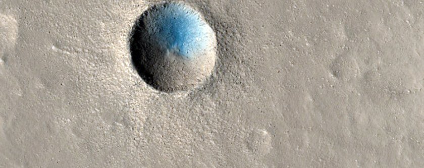
Image Source: NASA
Blowing sand eats through the rims of older craters
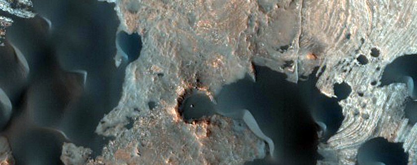
Image Source: NASA
Mars in all its two-toned glory
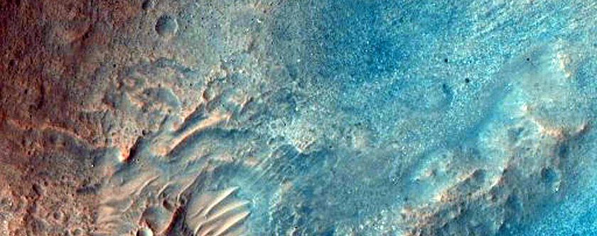
Image Source: NASA
Seasonal dunes on Mars nicknamed ‘Buzzel’
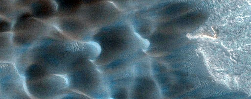
Image Source: NASA
Ridges cross the Nepenthes Mensae region, which is often referred to as a river delta for the striking pattern
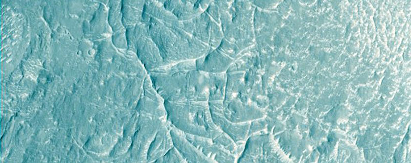
Image Source: NASA
The edges of a debris apron, where cliff material eroded away
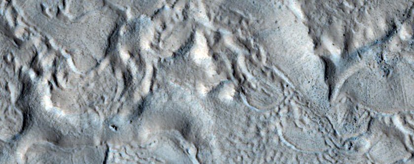
Image Source: NASA
Alluvial fans are some of the evidence that scientists used to confirm there was once water on Mars
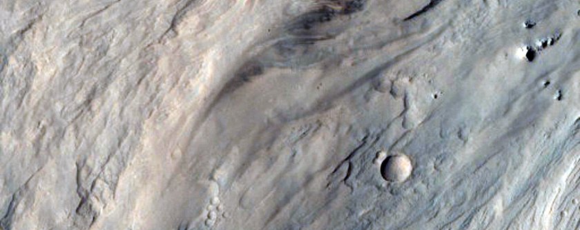
Image Source: NASA
Exposed bedrock on the Capri Chasma, which may once have been filled with floodwaters
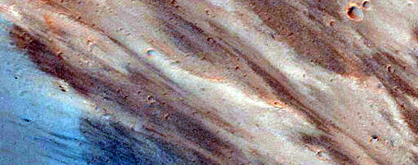
Image Source: NASA
This is the edge of a special layered deposit at Mars’ south pole.
The false-colour makes the white look like ice, but it’s just one of the many layers of rock and soil
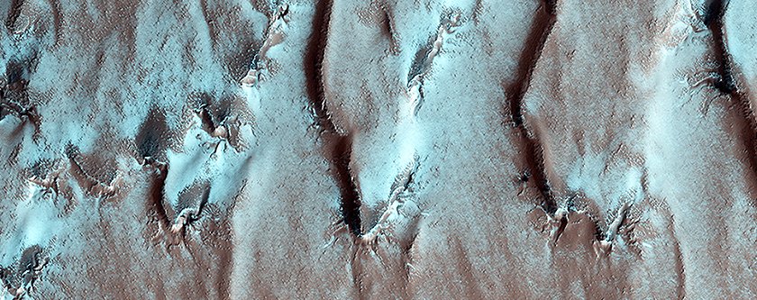
Image Source: NASA
The shadow of Ganges Chasma looms tall
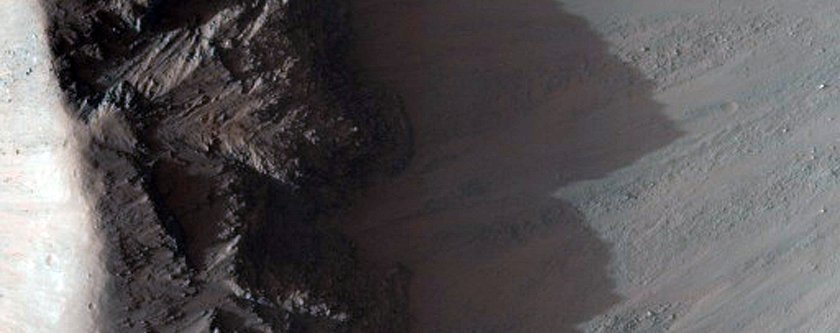
Image Source: NASA
Eos Chasma is part of Valles Marineris, the largest canyon on Mars
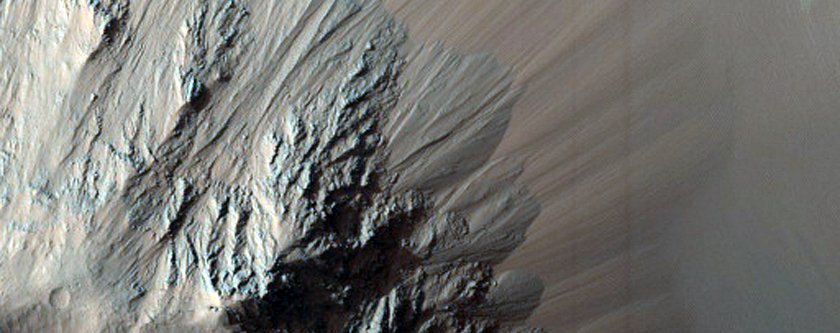
Image Source: NASA
A pedestal crater, where a crater has eroded away at different rates based on different rock types
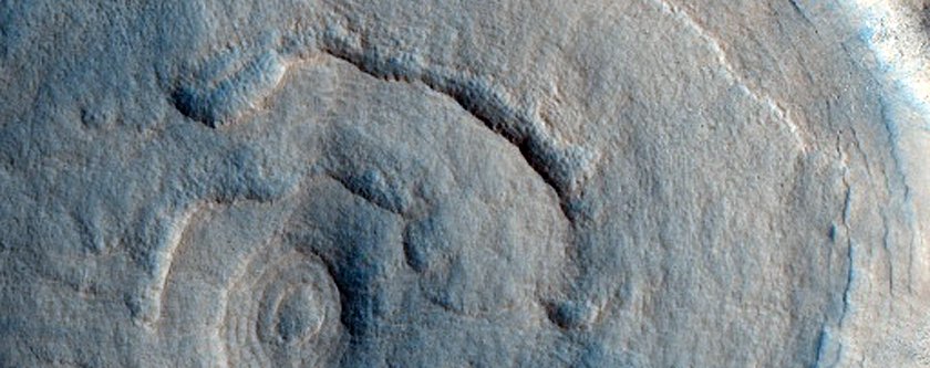
Image Source: NASA
Watching Mars defrost
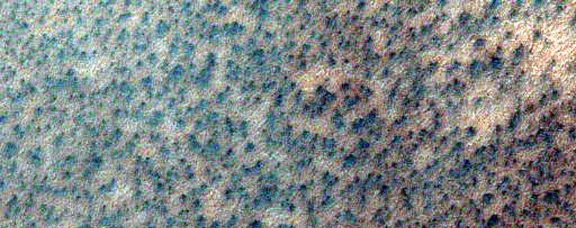
Image Source: NASA
Measuring changes in albedo, or how much light is reflected off the surface
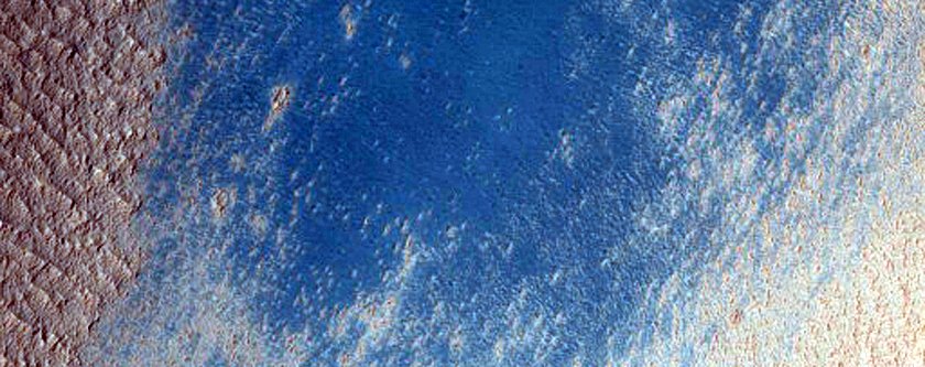
Image Source: NASA
A basin floor
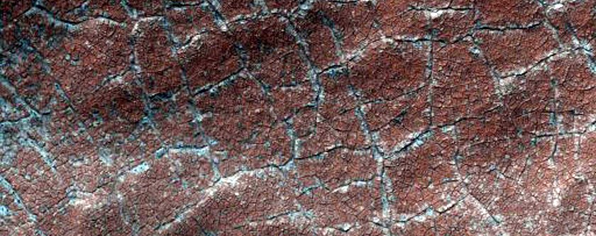
Image Source: NASA
An ancient and contorted Martian landscape that NASA is eyeing as a Mars 2020 landing site
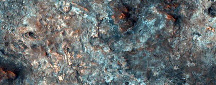
Image Source: NASA
Some aptly-named ‘spider terrain’
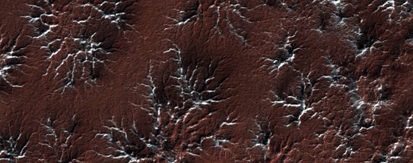
Image Source: NASA
Another landing site candidate for the Mars 2020 mission
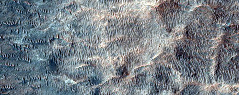
Image Source: NASA
An icy patch at Mars’ south pole that’s littered with dark spots
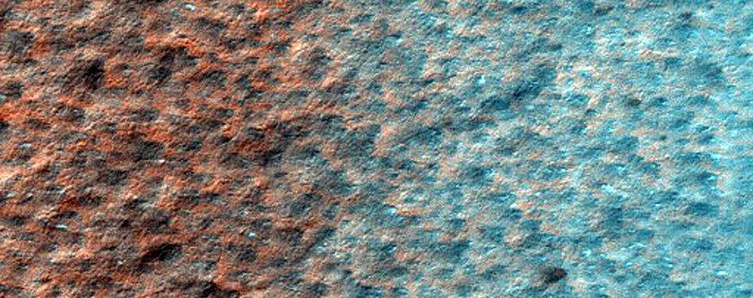
Image Source: NASA
Soft-looking dunes inside Herschel Crater

Image Source: NASA
A sinuous ridge on fretted terrain, which may be evidence of Mars’ glacial past
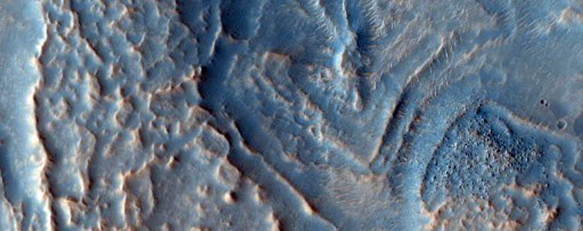
Image Source: NASA
Fractures in Utopia Planitia line up eerily neatly
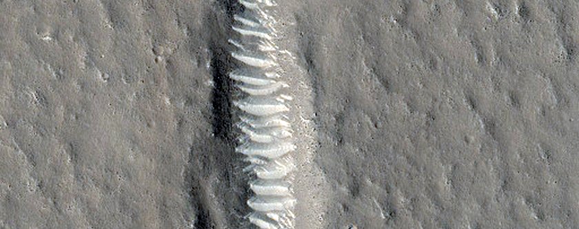 Image Source: NASA
Scientists think these may be pieces of rock blown away by an impact
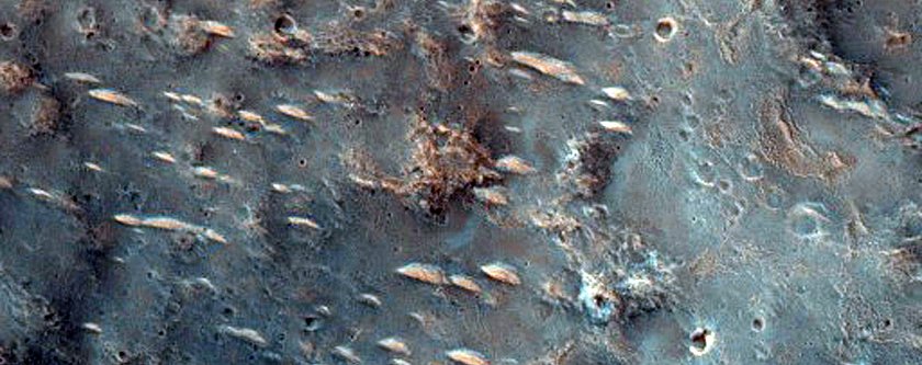
Image Source: NASA
Yardangs, which are sharp ridges scraped away by Mars’ harsh winds
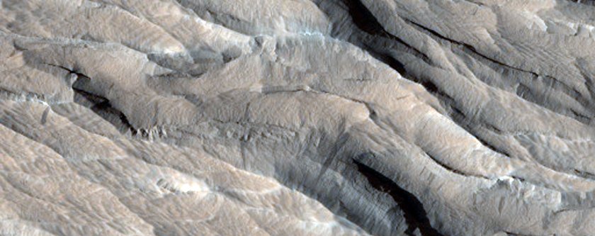
Image Source: NASA
Seasonal changes have inked these dunes with lines of minerals by warming up dry ice
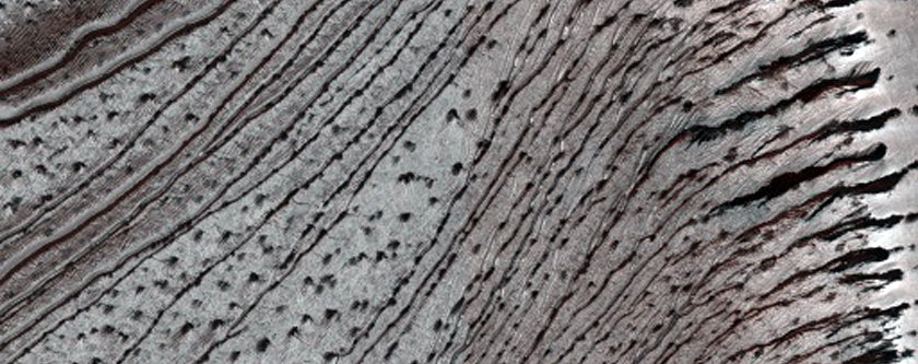
Image Source: NASA
Near the North Pole, in an area nicknamed ‘Windy City’
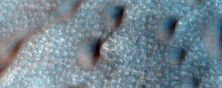
Image Source: NASA
These blotches aren’t shadows. When buried dry ice turns to gas in warmer weather, it pushes up darker minerals to surface.
Scientists call this location ‘Inca City’
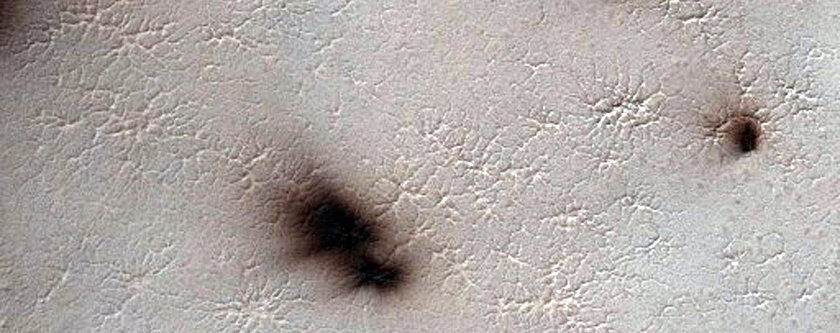
Image Source: NASA
A rainbow-coloured sprinkling of minerals on a Martian slope
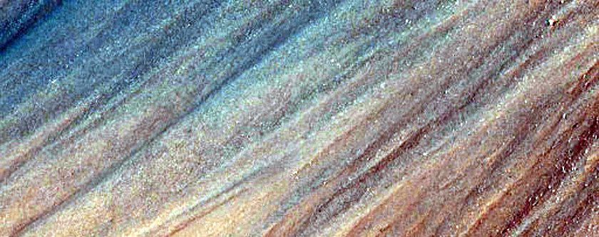
Image Source: NASA
Bright and dark fans on ground that resembles cracked mud
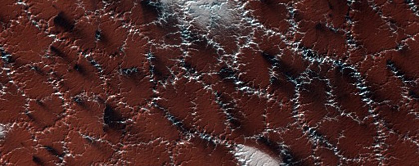
Image Source: NASA
The crest of a giant Martian sand dune
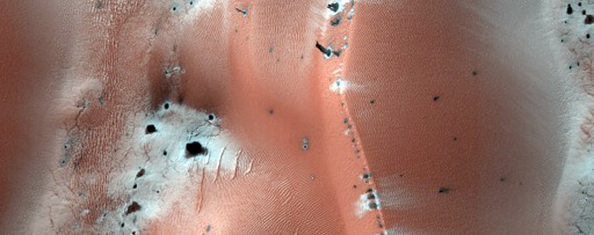
Image Source: NASA
Defrosting dry ice makes these strange patterns in the ground
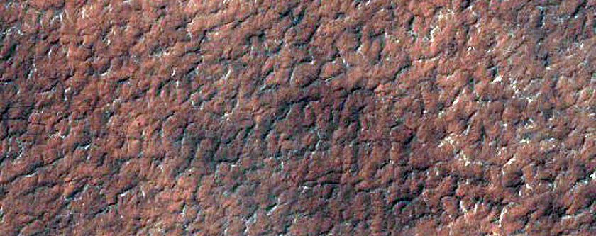
Image Source: NASA
An impact crater sticks out in a patterned bed of minerals
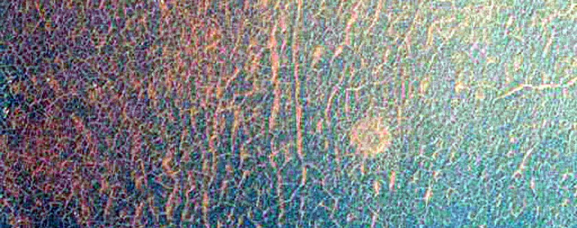
Image Source: NASA
Ancient craters on Mars slowly fill up with sand dunes
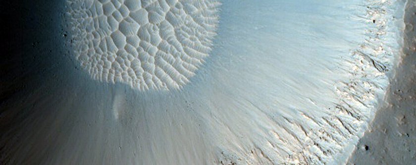
Image Source: NASA
Spiders look a like creatures are all over Mars
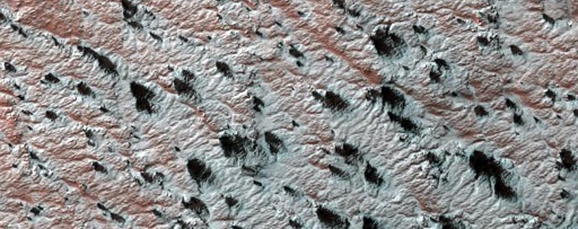
Image Source: NASA
We wouldn’t want to get lost in the dune fields of Amazonis Planitia
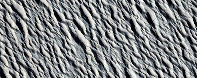
Image Source: NASA
A possible fault line in the Cerberus Fossae region of Mars
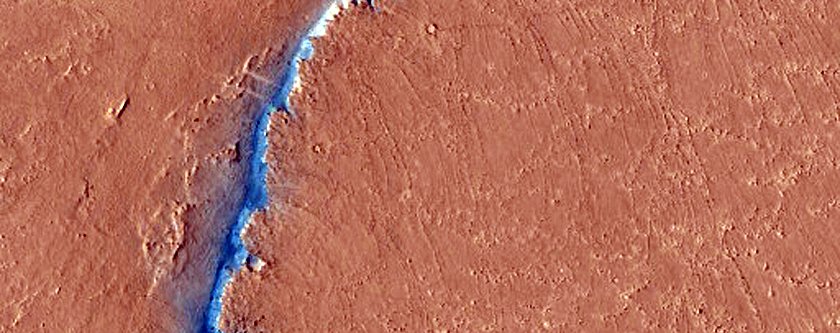
Image Source: NASA
A place just called ‘Ithaca’
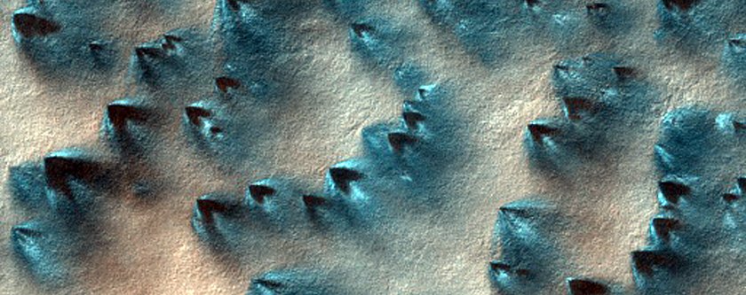
Image Source: NASA
A pair of collapse pits in Ceraunius Fossae
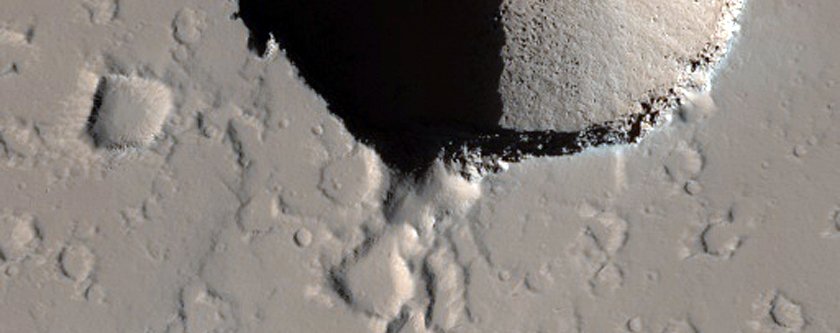
Image Source: NASA
This crater near a region called Aonia Terra looks like part of the Death Star
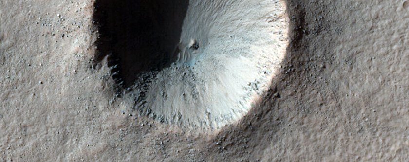
Image Source: NASA
A fracture in the floor of Upper Morava Valles
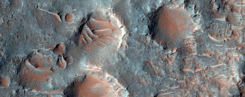
Image Source: NASA
Another ancient location that NASA is eyeing for landing the Mars 2020 rover, called Mawrth Vallis
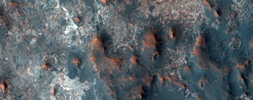
Image Source: NASA
Article based on: https://www.sciencealert.com/nasa-have-just-released-2-540-gorgeous-new-photos-of-mars
Gorgeous photos, agree? Share it!
















Connect with us